©Bert Gildart: We’ve been scurrying this past week, stopping first in New Jersey to visit family living along Shades of Death Road (Truly) then — a week later — on to Sturbridge, Massachusetts, to visit more family members.
Relatives aside, one of the highlights of our entire 9-month trip (we left Montana in October) has been to visit Old Sturbridge Village, something I’ve reported on several times before. Justifiably, the village claims it is a living museum, and exists to portray life as it existed in New England between 1790s and 1830. At times the village portrays special historical events, and this past week it portrayed “Juneteenth.”
JUNETEENTH
The word Juneteenth dates back to 1865 and recalls the first known celebration commemorating the ending of slavery in the United States. Many African Americans must consider it their 4th of July, and Old Sturbridge Village highlighted that historical event by assembling superb story tellers. We were amazed at their repertoire of expressions and by their ability to entrance diverse audiences.
Sadly, Juneteenth coincides with the horrors of this past week’s shooting spree in South Carolina, causing many to wonder why so much racial hatred still prevails. It’s now 152 years after Lincoln signed his Emancipation Proclamation, which is what Juneteenth is intended to celebrate.


CAPTIONS: Tammy Denease portrays a number of women who knew the tragedy created by slavery. For more see Historical Firsts. Center, Emma Rae portraying Harriet Beecher Stowe reading from her still-famous book, Uncle Tom’s Cabin.
Juneteenth at OSV was highlighted with quality performers, and Actress/narrator Tammy Denease Richardson was the first to introduce us to the plight of slavery as practiced in the early 1800s. Born in Mississippi, Ms. Richardson spent countless hours with her 100-year old grandmother and great-grandmother, the latter of whom was a former slave who lived to be 125 years old. Both were well-known storytellers who passed this treasured gift on to Ms. Richardson, their granddaughter.
During the week, she played the part of several slaves, such as Sarah Margru, who had been brought from Africa via Cuba to America on the slave ship Amistad. In her presentation, she described the beatings at the hands of owners – as well as other types of “physical” abuse. Throughout, she emphasized that Margru never forgot her African roots, despite the fact she was only nine when captured thousands of miles away.
In yet another performance Richardson depicted Elizabeth Keckly, an enslaved woman who bought her freedom and that of her son for $1,200, gaining prominence as a dressmaker and as a confidante to Mary Todd Lincoln.
WOULD HAVE DIED FOR JUST A MOMENT OF FREEDOM
In yet another performance, Ms. Richardson acted out a narration of Elizabeth “Mum Bett” Freeman. The story is true and relates Mum Bett’s challenge to win her freedom after suffering 30 years in bondage. You can hear the words echoing through the ages as sadness fills the face of Ms. Freeman. But the words that follow do not falter and with strength of purpose she speaks the same words uttered so long ago by Mum Bett:
“Anytime, anytime while I was a slave, if one minute’s freedom had been offered to me, and I had been told I must die at the end of that minute, I would have taken it — just to stand one minute on God’s airth a free woman — I would.”
It was a fitting prelude to other actors/story tellers who presentations were equally as poignant.
Andre Keitt was another of the week’s story tellers, and our program referred to him as one of the Keys to the Keepers. His narration ran the gamut, at times filled with lighthearted anecdotes that he said helped slaves forget the day-to-day reality of servitude. Keitt said that many of the thoughts and words came from his grandmother Martha Greatheart. He said that when he was young he would listen to her words over and over, trying to absorb her wisdom.


L to R: Andre Keitt and a partial Repertoire of expressions used to express humor, pathos, reflection and determination.
“I never got tired of hearing them,” said Keitt, adding that from that moment he heard the stories, he knew he wanted to be a storyteller. “I knew,” he said, “that I had to write her stories down before they were lost forever.”
Mr. Keitt said the majority of those stories have a lineage that can be traced back to family members who were emancipated slaves. He said that many of the stories evolved to escaped the hardships of slavery, and he used as an example Bre’er Fox and Bre’er Rabbit. Anyone, he said, could be called Bre’er and he picked Janie from the audience as an example. “Bre’re Jane,” said Keitt. “I bet you are a good story teller.”
Janie and I attended other programs and I hope to share with you performances characterizing Harriet Tubman and Harriet Beecher Stowe, which were also featured this past week at Old Sturbridge Village.
——-
THIS TIME LAST YEAR:
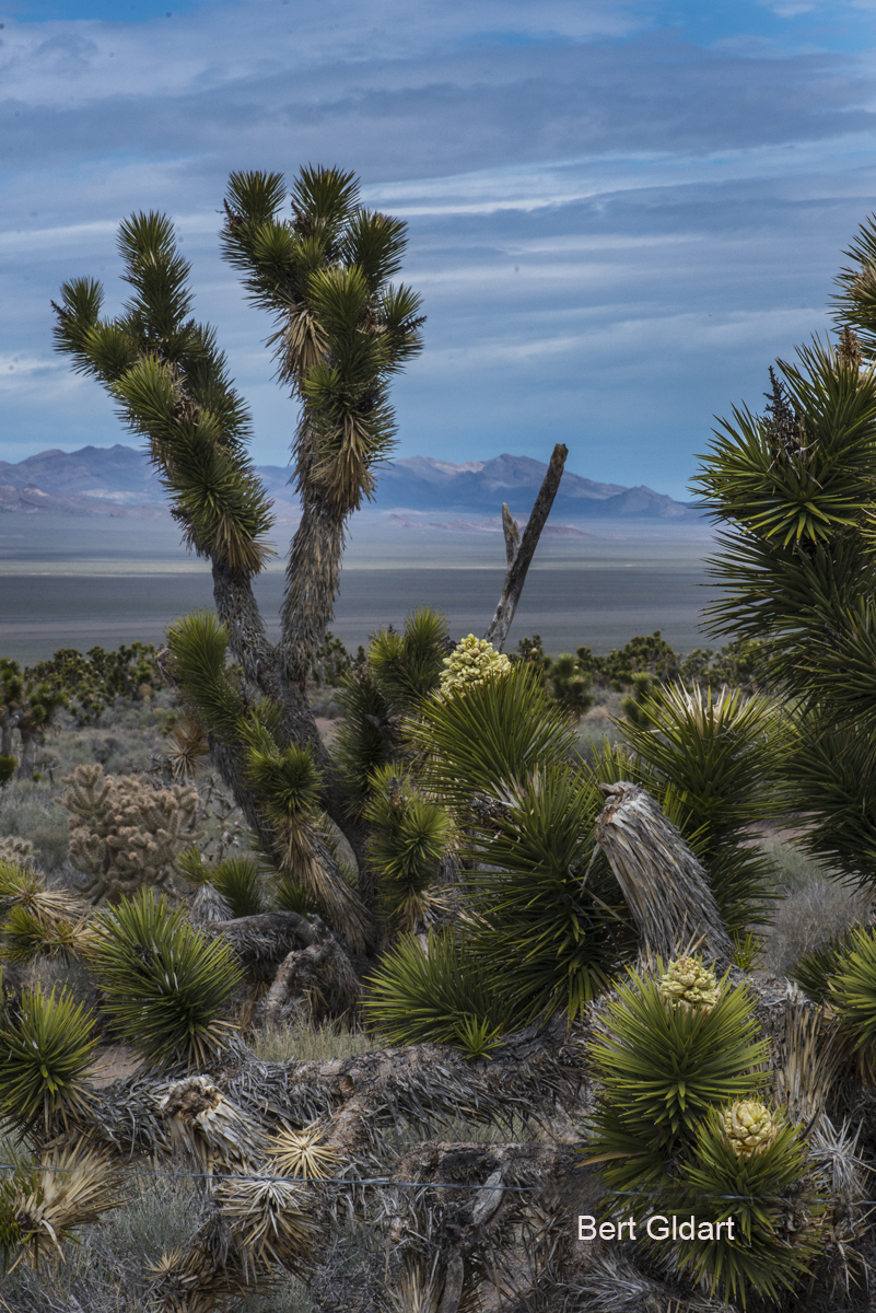
Raccoon At Our Feeder
4th ed. Autographed by the Authors
Hiking Shenandoah National Park
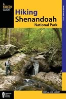 Hiking Shenandoah National Park is the 4th edition of a favorite guide book, created by Bert & Janie, a professional husband-wife journalism team. Lots of updates including more waterfall trails, updated descriptions of confusing trail junctions, and new color photographs. New text describes more of the park’s compelling natural history. Often the descriptions are personal as the Gildarts have hiked virtually every single park trail, sometimes repeatedly.
$18.95 + Autographed Copy
Big Sky Country is beautiful
Montana Icons: 50 Classic Symbols of the Treasure State
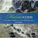 Montana Icons is a book for lovers of the western vista. Features photographs of fifty famous landmarks from what many call the “Last Best Place.” The book will make you feel homesick for Montana even if you already live here. Bert Gildart’s varied careers in Montana (Bus driver on an Indian reservation, a teacher, backcountry ranger, as well as a newspaper reporter, and photographer) have given him a special view of Montana, which he shares in this book. Share the view; click here.
$16.95 + Autographed Copy
What makes Glacier, Glacier?
Glacier Icons: 50 Classic Views of the Crown of the Continent
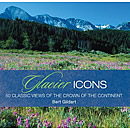 Glacier Icons: What makes Glacier Park so special? In this book you can discover the story behind fifty of this park’s most amazing features. With this entertaining collection of photos, anecdotes and little known facts, Bert Gildart will be your backcountry guide. A former Glacier backcountry ranger turned writer/photographer, his hundreds of stories and images have appeared in literally dozens of periodicals including Time/Life, Smithsonian, and Field & Stream. Take a look at Glacier Icons
$16.95 + Autographed Copy

")


")

")


")
")
")
")


