Ghost Flower
posted: March 8th, 2017 | by:Bert
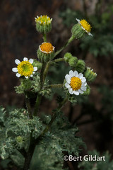
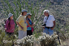
©Bert Gildart: Yesterday (3-8-17), photographer friend/Airstream owner Bill D and I hiked Moonlight Canyon Trail searching in part for the elusive Ghost Flower, a species that derives its name from the ghostly translucency of its flowers. Certainly, that’s appropriate, but Bill and I concluded the plant could also be named because it is so ephemeral. “Here today, gone tomorrow,” is the way Bill expressed the condition, adding, “like a ghost.” And that seems apt, for over the years Janie and I have visited Anza-Borrego Desert State Park, we’ve only seen but one example of this beautiful white flower.
But Bill and I lucked out, and during our hike we found a number of small clumps, and then, later, as we researched the species, discovered it has some characteristics that make Mohavea confertiflora unique.
")
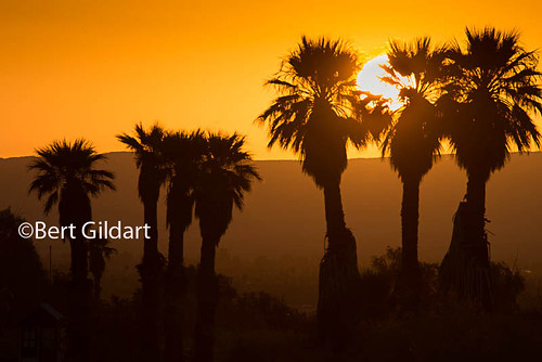
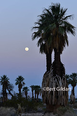
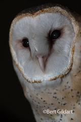
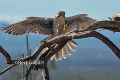
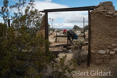
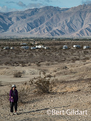
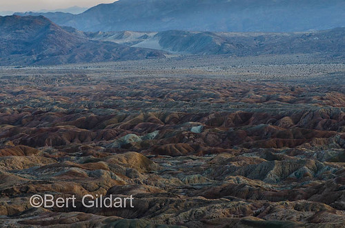
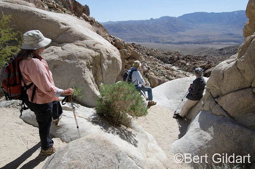
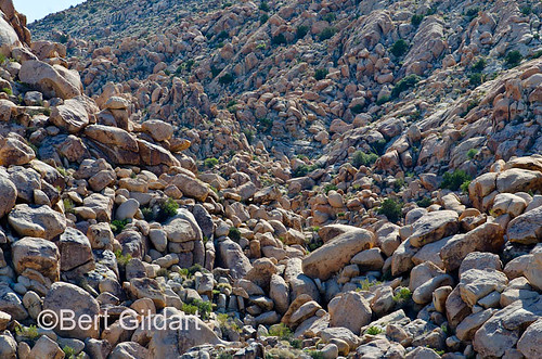
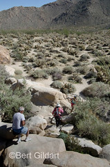
Bill and I return to Moonlight Canyon, near Aqua Caliente.
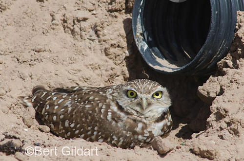
An excellent area in which to see bighorn sheep and to find the elusive Ghost Flower.
NO NECTAR
Mohavea confertiflora flowers March to April, and what is unique to the species is that it does not produce nectar. Instead, the internet tells us [the species] “has adapted a morphology resembling the flower Mentzelia involucrata, which often grows in the same habitat. Mentzelia involucrata produces nectar to attract female bees of the genus Xeralictus.”
The explanation further says that our ghost flower attracts the same pollinators to its flowers through floral mimicry (an evolved act in which a species derives a benefit by mimicking some feature found in another species): In this case the Mohavea flowers contain marks that resemble female Xeralictus; these marks operate as a sign stimulus to the male bee, which enters the flower and in doing so pollinates the Mohavea.”
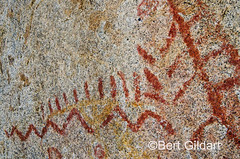
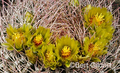
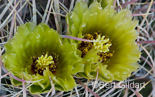
These facts piqued our interest and we worked hard to capture the blood-red marks (located deep in the “bowl”) of the plant.
")
")
")
Note the blood-red splotch in the bowl
of these ghost flowers, another feature that makes them unique.
FIGWORT FAMILY
Because the species has some unique features that it shares with snapdragons and penstemons, the ghost flower is placed with them in the figwort family (Scrophulariaceae). But its appearance is decidedly different and can be recognized by the long, hairy, light-green leaves that are elliptical to lanceolate. Plants we saw stood about 4 inches long.
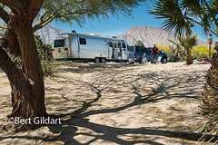
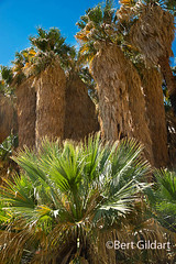
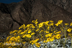
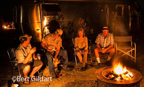
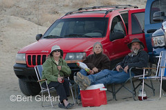
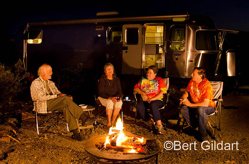
We saw a number of plants on our hike through this beautiful canyon accessed from Agua Caliente, but had spent so much time photographing Ghost Flowers we figured we could dally no further, for Larry and my wife Janie were waiting for us so we could all to sit down beside Bill and Larry’s Airstream and enjoy the scrumptious mid-day dinner Larry had prepared.
———————
OTHER FLOWER POSTS:
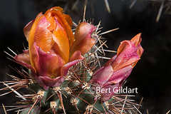
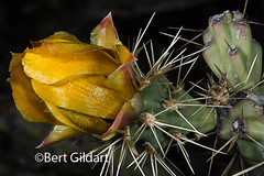
Photographing Cacti — In Macro Mode
Strobes, Great for Photographing Flowers in Windy Weather
THIS TIME LAST YEAR:
4th ed. Autographed by the Authors
Hiking Shenandoah National Park
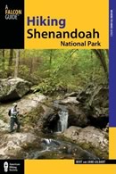 Hiking Shenandoah National Park is the 4th edition of a favorite guide book, created by Bert & Janie, a professional husband-wife journalism team. Lots of updates including more waterfall trails, updated descriptions of confusing trail junctions, and new color photographs. New text describes more of the park’s compelling natural history. Often the descriptions are personal as the Gildarts have hiked virtually every single park trail, sometimes repeatedly.
Big Sky Country is beautiful
Montana Icons: 50 Classic Symbols of the Treasure State
![]() Montana Icons is a book for lovers of the western vista. Features photographs of fifty famous landmarks from what many call the “Last Best Place.” The book will make you feel homesick for Montana even if you already live here. Bert Gildart’s varied careers in Montana (Bus driver on an Indian reservation, a teacher, backcountry ranger, as well as a newspaper reporter, and photographer) have given him a special view of Montana, which he shares in this book. Share the view; click here.
Montana Icons is a book for lovers of the western vista. Features photographs of fifty famous landmarks from what many call the “Last Best Place.” The book will make you feel homesick for Montana even if you already live here. Bert Gildart’s varied careers in Montana (Bus driver on an Indian reservation, a teacher, backcountry ranger, as well as a newspaper reporter, and photographer) have given him a special view of Montana, which he shares in this book. Share the view; click here.
$16.95 + Autographed Copy
What makes Glacier, Glacier?
Glacier Icons: 50 Classic Views of the Crown of the Continent
![]() Glacier Icons: What makes Glacier Park so special? In this book you can discover the story behind fifty of this park’s most amazing features. With this entertaining collection of photos, anecdotes and little known facts, Bert Gildart will be your backcountry guide. A former Glacier backcountry ranger turned writer/photographer, his hundreds of stories and images have appeared in literally dozens of periodicals including Time/Life, Smithsonian, and Field & Stream. Take a look at Glacier Icons
Glacier Icons: What makes Glacier Park so special? In this book you can discover the story behind fifty of this park’s most amazing features. With this entertaining collection of photos, anecdotes and little known facts, Bert Gildart will be your backcountry guide. A former Glacier backcountry ranger turned writer/photographer, his hundreds of stories and images have appeared in literally dozens of periodicals including Time/Life, Smithsonian, and Field & Stream. Take a look at Glacier Icons
$16.95 + Autographed Copy
")
")
")

")


")
_2 of 3)_3 of 3)_tonemapped")
")
")